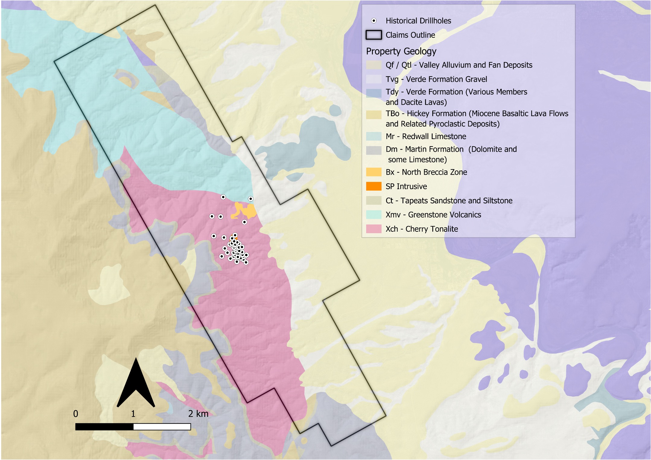
Location & Access
Strategic Arizona Location
- Central Arizona: ~65 miles (1.5 hours drive) NNE of Phoenix in Yavapai County
- 126 km from Freeport-McMoRan's Bagdad copper-molybdenum mine, which has produced approximately 5.0 Mt of copper and 175,000 tonnes of molybdenum since 1929
- 5.5 miles south of Camp Verde (pop. 12,507)
- Full-service town / city
- Road Accessible with paved highway transitioning to truck-accessible dirt roads
- Climate permits year-round fieldwork and operations
- Infrastructure Ready
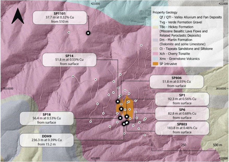
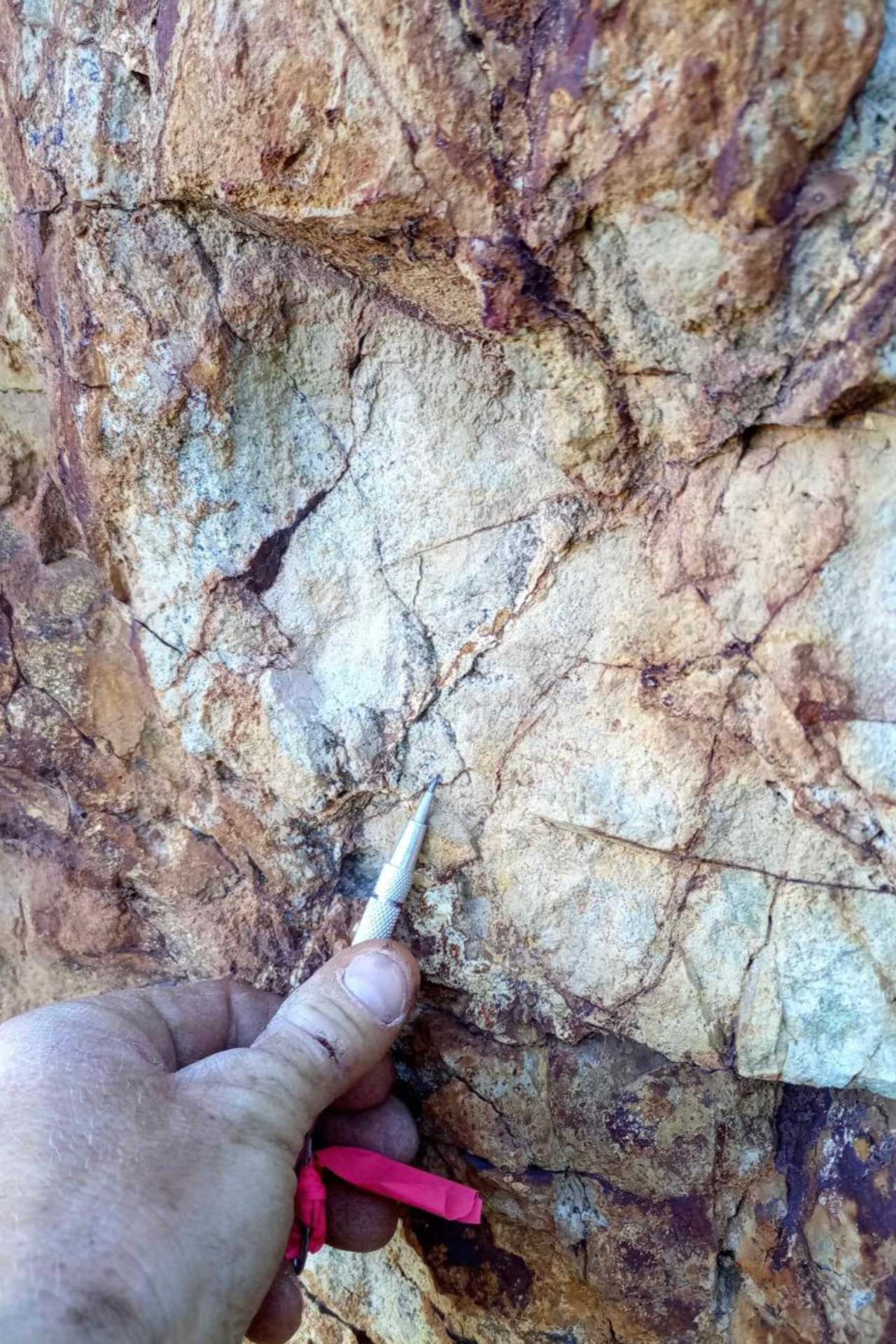
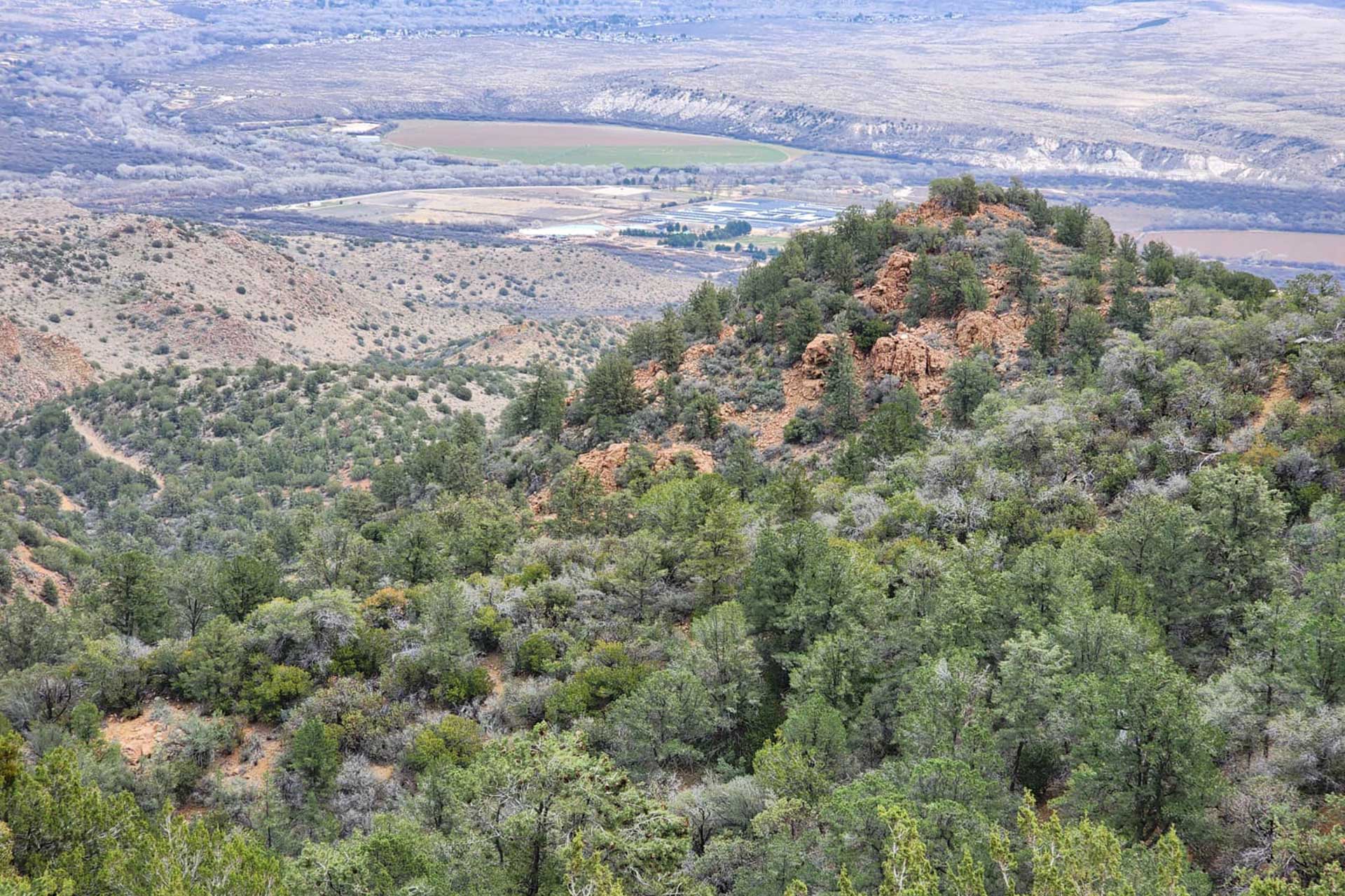
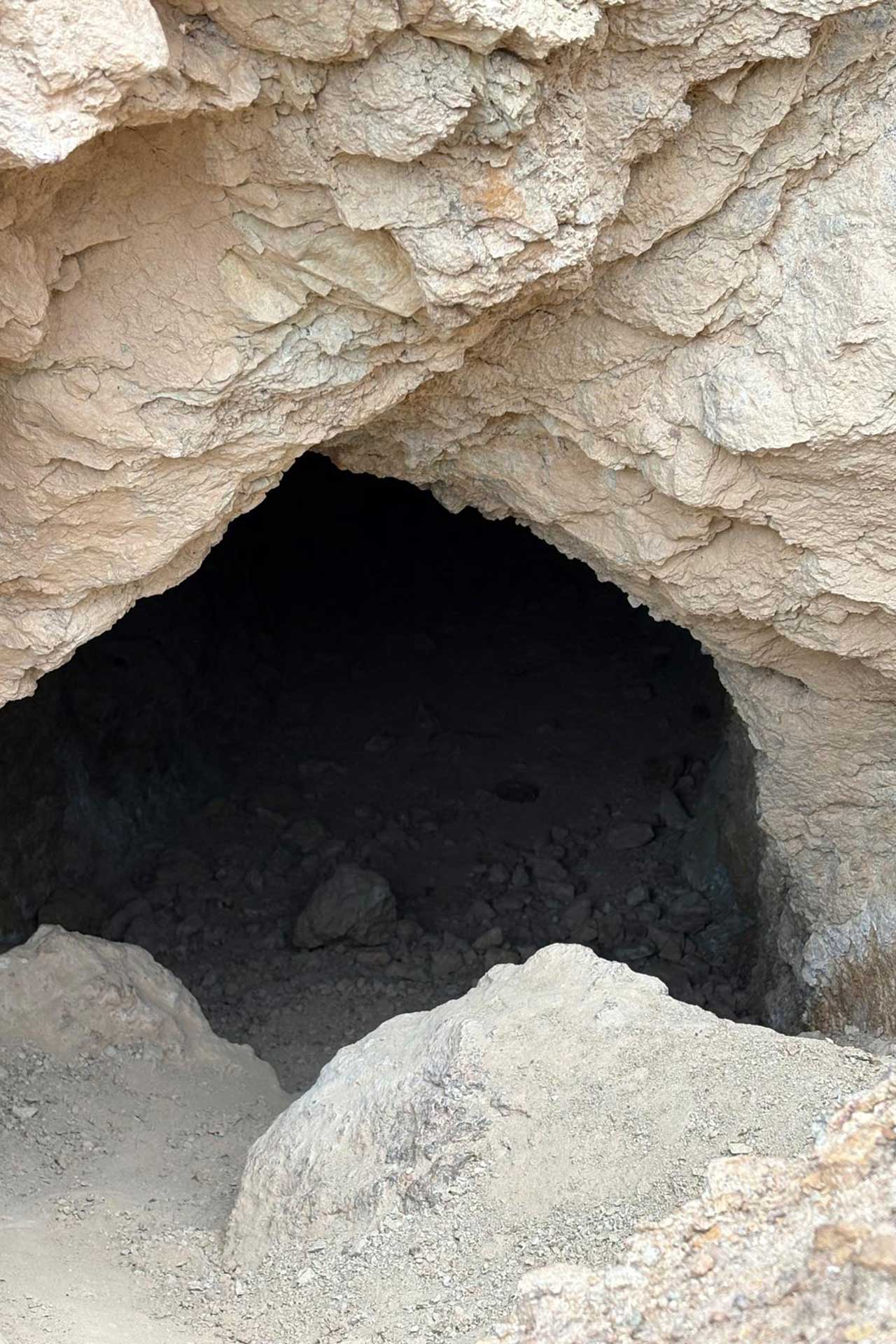
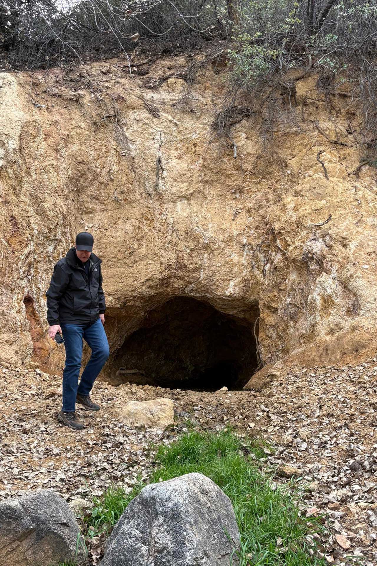
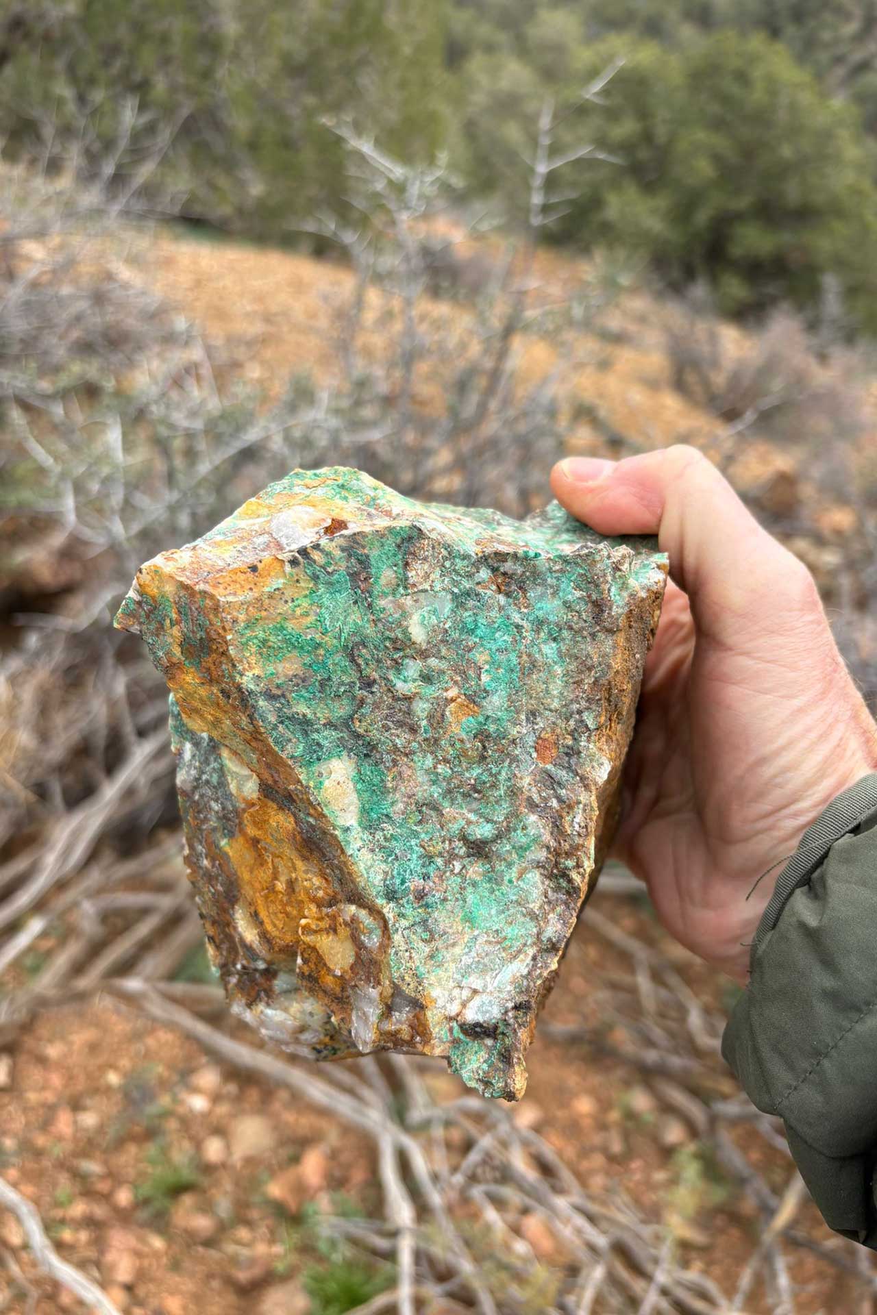
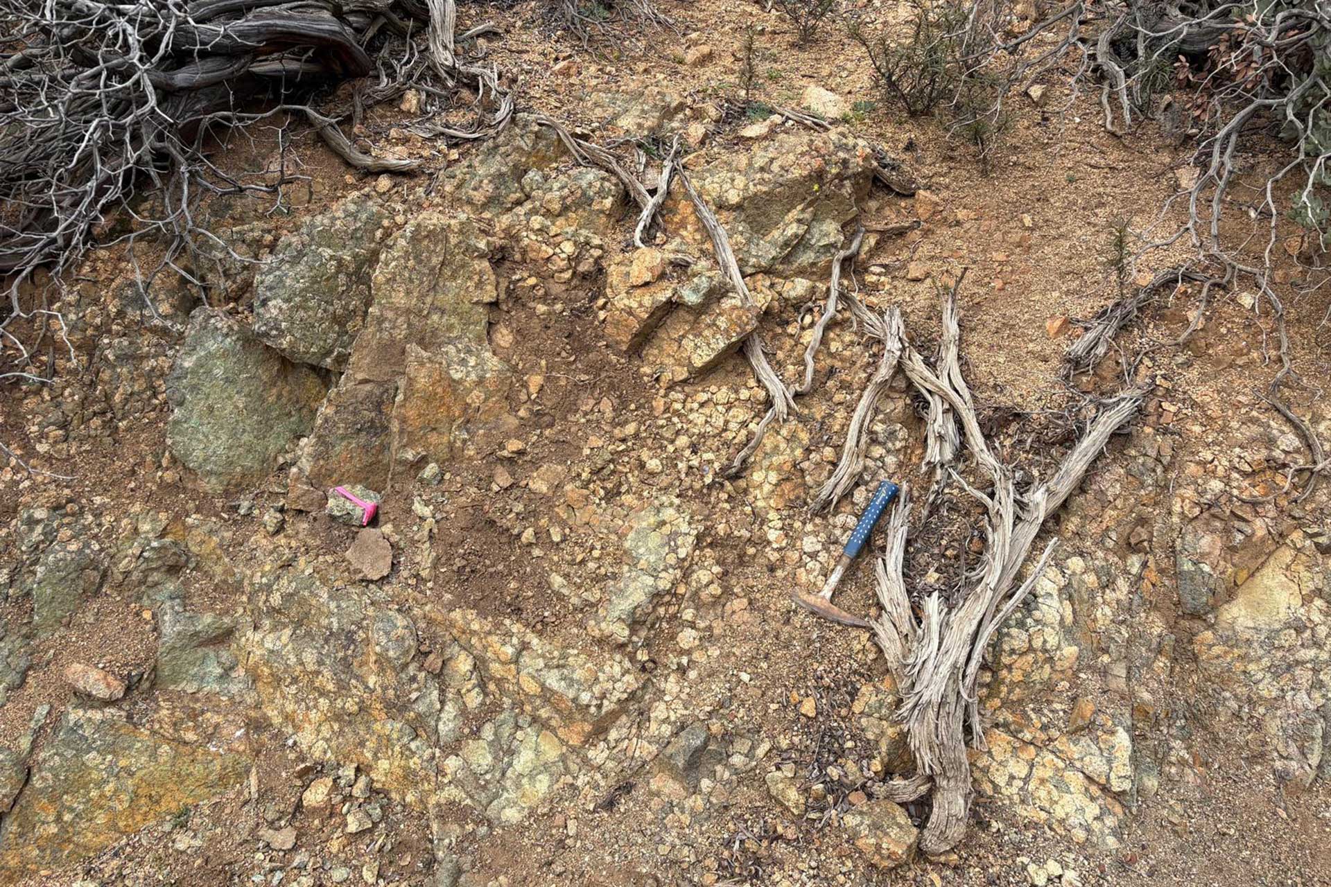
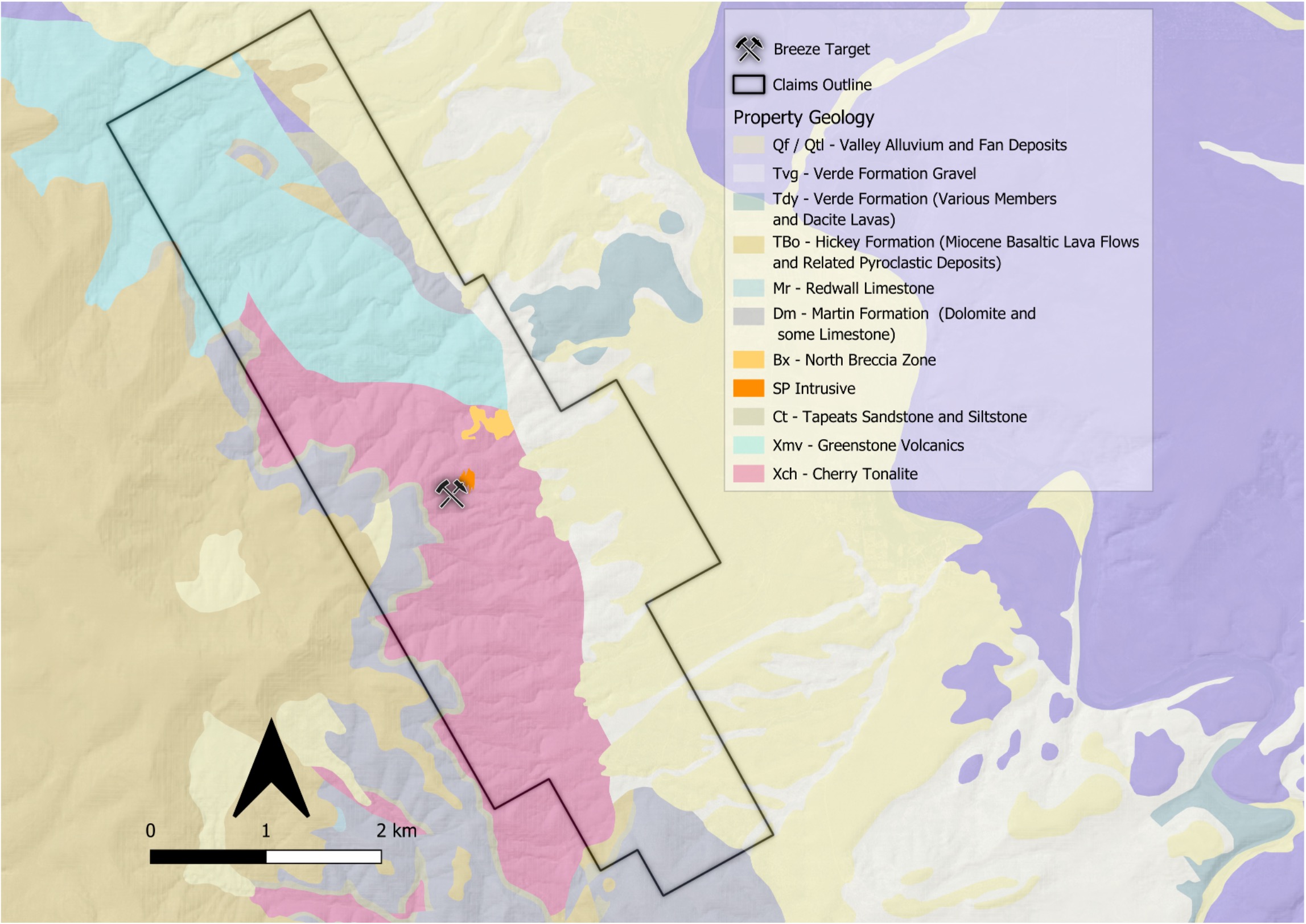
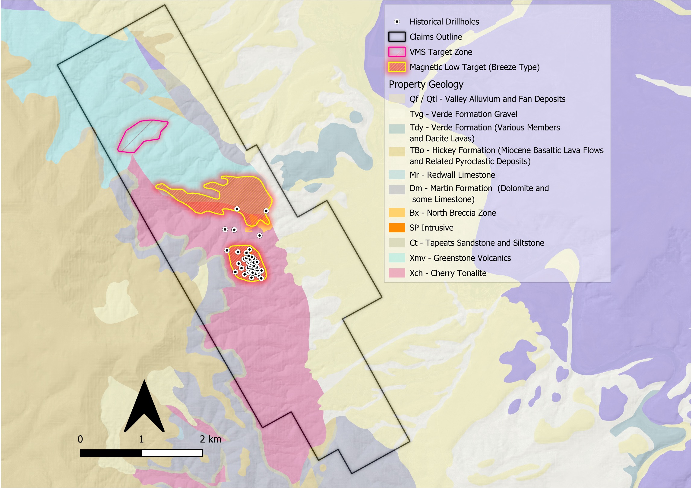
Click on Image to Enlarge